Map styles with a black background and white distressed text reading 'MAPS'.
Logo for Arctic Circle Expedition featuring a circular emblem with a black snowmobile silhouette, blue background, white border, and orange and black text, with a large orange triangle behind the circle.

ARCTIC CIRCLE EXPEDITION

Maps

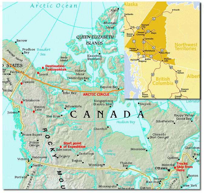
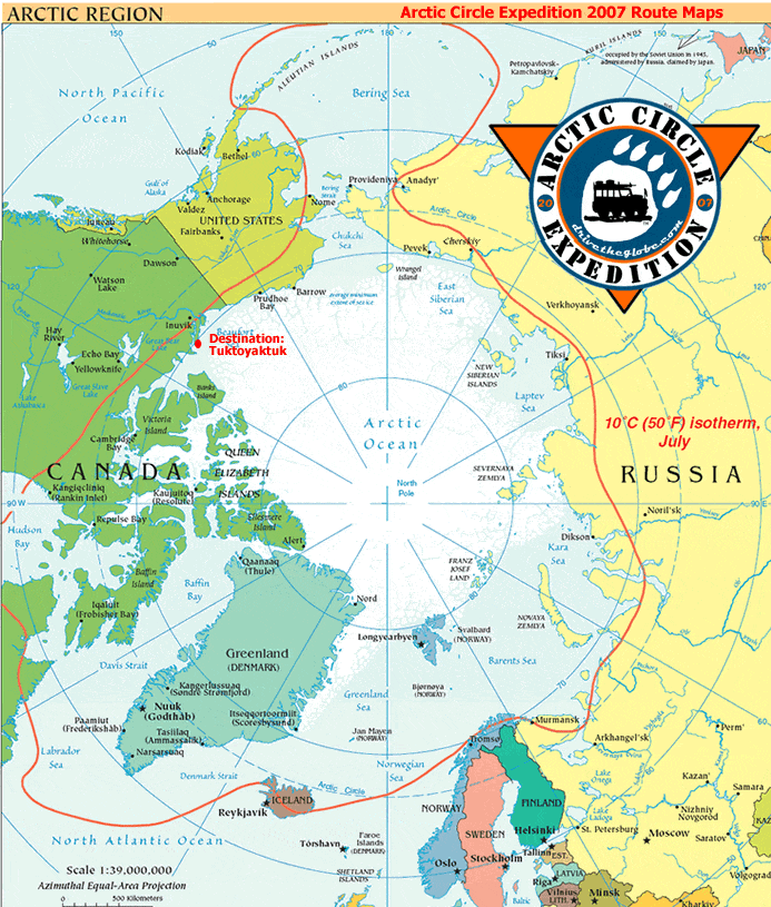
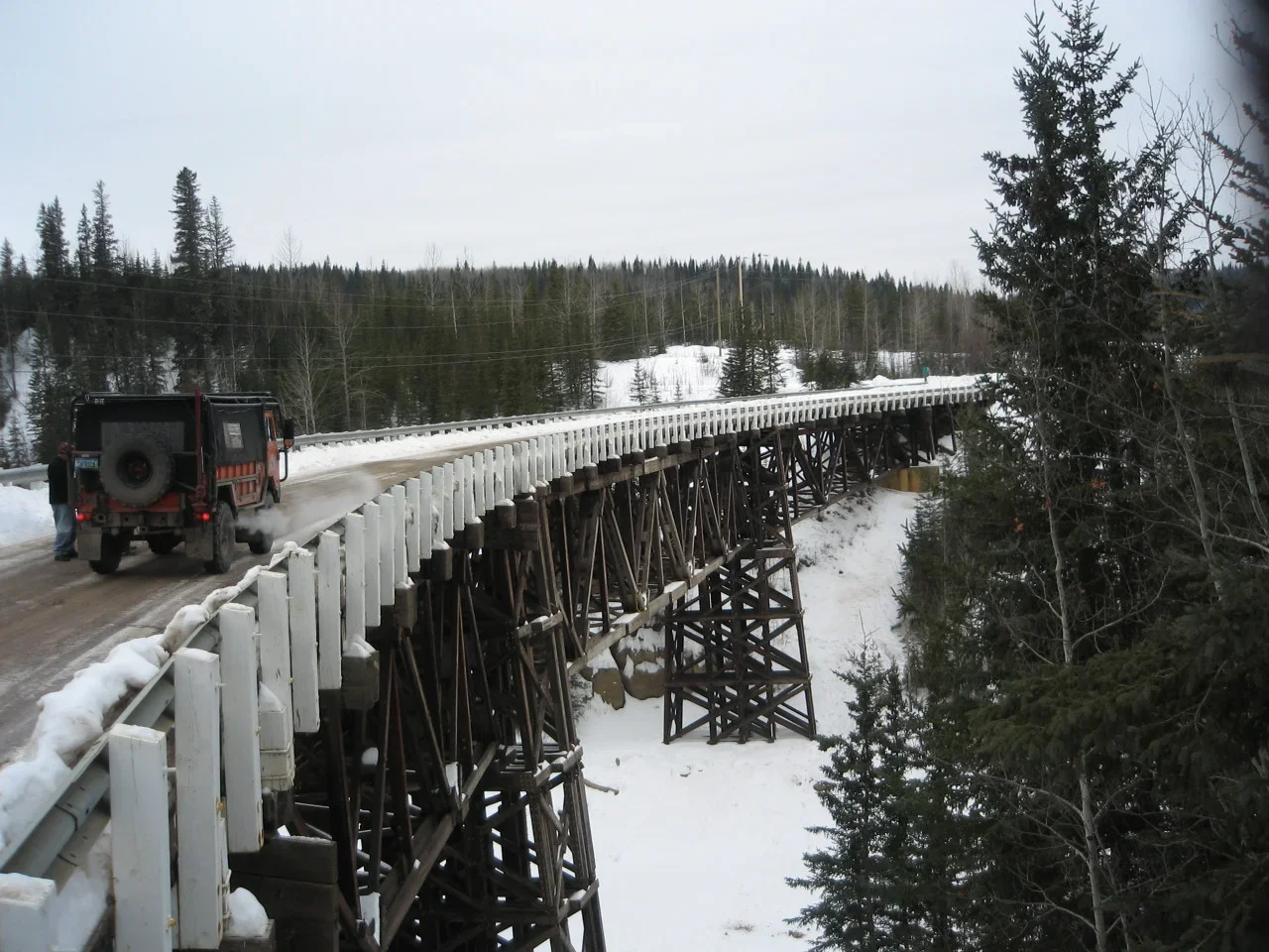
The following maps outline the general route of the expedition. Two of the vehicles were shipped trans Canada by train from Ottawa Ontario to Edmonton Alberta. The third vehicle drove from Virginia to Edmonton to begin the trip North. The general route saw the team travel from Edmonton to the Alaska Highway, Watson Lake, Whitehorse and Dawson. They then navigated the Dempster Highway from Dawson to Inuvik and then the ice roads to Tuktoyaktuk.

Map of the route for the Drive The Globe Arctic Circle Expedition
Map of the Arctic region showing the Arctic Circle expedition route in 2007, including destinations like Tuktoyuktuk, and marked landmarks such as Iceland, Greenland, and parts of Russia, with temperature note of 10°C (50°F) in July.

Three off-road vehicles on rocky terrain with the text 'The adventure is not the destination... it is the journey' displayed below.